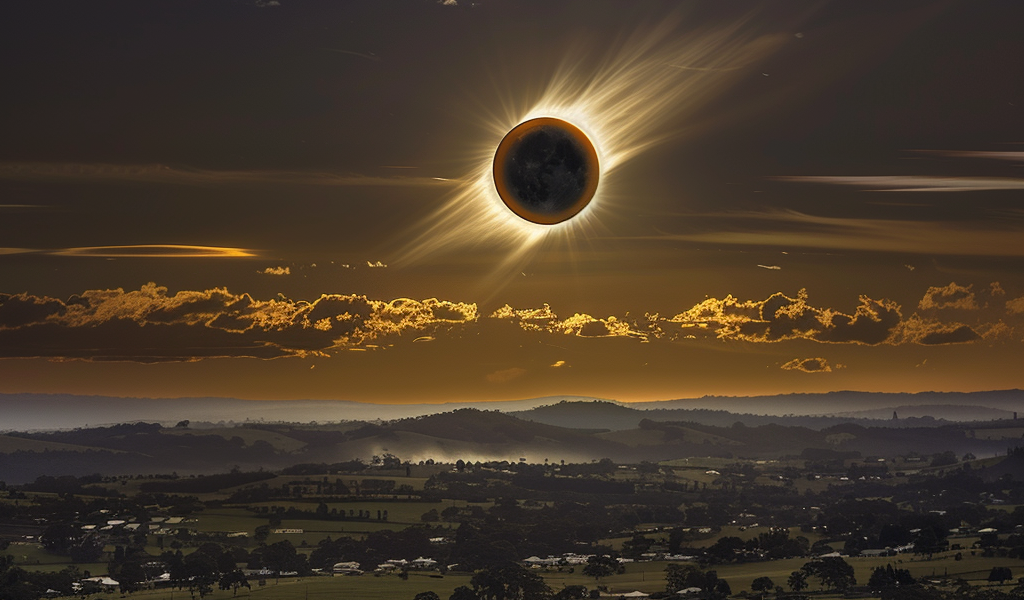
A total solar eclipse is set to cross North America on April 8, 2024, offering astronomy enthusiasts a spectacular celestial event. The eclipse is expected to pass through 15 U.S. states, with maps revealing the specific locations and timings for optimal viewing.
According to NASA, the total solar eclipse will commence along Mexico’s Pacific Coast at approximately 11:07 a.m. PDT before traversing a swath of the U.S., spanning from Texas to Maine and extending into Canada. The path of totality, where the moon will completely obscure the sun, is estimated to accommodate around 31.6 million residents and will range between 108 and 122 miles in width. Additionally, an extra 150 million individuals reside within 200 miles of the path of totality.
Solar Eclipse Path of Totality
The eclipse will originate over the Pacific Ocean, with Mexico’s Pacific Coast being the first continental North American location to encounter totality at approximately 11:07 a.m. PDT on April 8. The path will then progress into Texas, passing through more than a dozen states before entering Canada in southern Ontario. The eclipse is projected to depart continental North America around 5:16 p.m. NDT from Newfoundland, Canada.
The states within the path of totality are:
- Texas
- Oklahoma
- Arkansas
- Missouri
- Illinois
- Kentucky
- Indiana
- Ohio
- Pennsylvania
- New York
- Vermont
- New Hampshire
- Maine
Additionally, small portions of Tennessee and Michigan will also experience the total solar eclipse. While several major U.S. cities fall within the eclipse’s path of totality, others will witness a partial eclipse. Notable cities for eclipse viewing, weather permitting, include San Antonio, Texas; Austin, Texas; Waco, Texas; Dallas, Texas; Little Rock, Arkansas; Indianapolis, Indiana; Dayton, Ohio; Cleveland, Ohio; Buffalo, New York; Rochester, New York; Syracuse, New York; and Burlington, Vermont.
Map of Solar Eclipse Totality
NASA’s map provides a comprehensive overview of the eclipse’s path and the corresponding timings for totality across the U.S. The map is an invaluable resource for individuals planning to witness this extraordinary natural phenomenon.


