Mapping Deforested Land Use in Africa
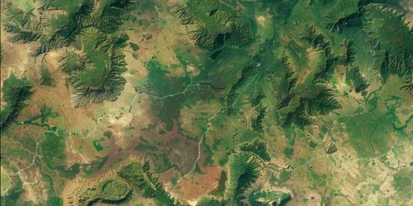
Learn about a new study mapping deforested land use in Africa, providing crucial data for climate protection and biodiversity. The study, led by researchers from Wageningen University and GFZ German Research Center for Geosciences, used high-resolution satellite data to analyze 15 different types of land use after deforestation, creating the first high-resolution and continental mapping of land use after deforestation across the African continent.