New Maps Reveal Lake Rotorua’s Hidden Depths And Hydrothermal Systems
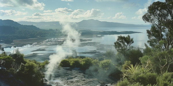
New maps of Lake Rotorua’s bathymetry reveal hidden depths, pockmarks, and evidence of an ancient river, providing insight into the region’s geological history. The maps also show an active underwater hydrothermal system near Sulphur Point, shedding light on the lake’s ecosystem and geothermal system. GNS scientists have conducted surveys to better understand the lake’s sublacustrine hydrothermal system, empowering them to model the intricate workings of the Rotorua geothermal system.

