New Maps Reveal Lake Rotorua’s Hidden Depths And Hydrothermal Systems
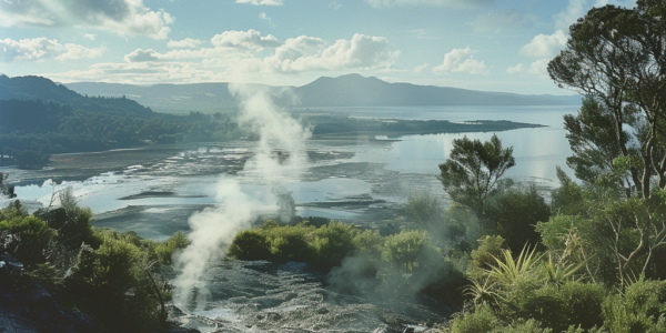
New maps of Lake Rotorua’s bathymetry reveal hidden depths, pockmarks, and evidence of an ancient river, providing insight into the region’s geological history. The maps also show an active underwater hydrothermal system near Sulphur Point, shedding light on the lake’s ecosystem and geothermal system. GNS scientists have conducted surveys to better understand the lake’s sublacustrine hydrothermal system, empowering them to model the intricate workings of the Rotorua geothermal system.
Groundbreaking Discovery in 3.5 Billion-Year-Old Hydrothermal Vent Sediments
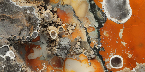
Researchers from The University of Western Australia have made a groundbreaking discovery by examining 3.5 billion-year-old hydrothermal vent sediments, shedding light on the origin and early evolution of life on Earth. The study, published in the journal Science Advances, was…
Yellowstone Volcano Observatory Initiates New Monitoring Plan for Hydrothermal Basins
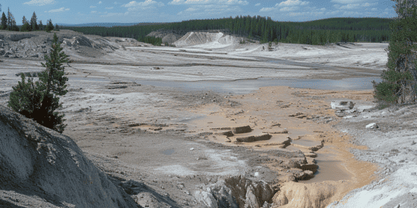
Yellowstone National Park is a natural wonder, known for its stunning landscapes and unique geological features. Among these features are the park’s hydrothermal basins, which are of great interest to scientists due to the potential hazards they pose. In a…


