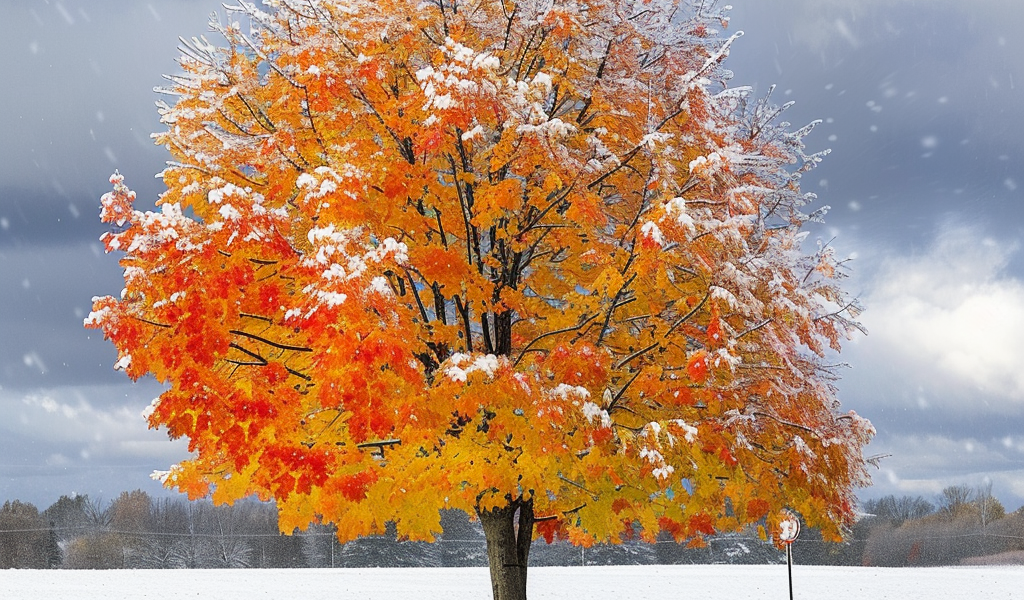
As November unfolds, Michigan experiences a transition from fall to winter, with temperatures and weather patterns reflecting this shift. The average high and low temperatures at the beginning of the month are recorded at 53.6°F and 37.8°F, respectively. By the end of November, these averages drop to 41.0°F and 28.6°F, marking a significant change as the state prepares for the colder winter months ahead.
Historically, November has shown a wide range of temperatures in Michigan. The warmest mean temperature recorded in November was 47.6°F in 1931, while the coldest mean temperature was a stark 31.0°F in 1951. The record high for November was an impressive 81°F on November 1st, 1950, showcasing the potential for unseasonably warm weather. However, just 25 days later, the state experienced a record low of -10°F, highlighting the volatility of Michigan’s weather.
November 1950 is particularly notable for its drastic temperature fluctuations, with a staggering spread of 92°F between the record high and low. On average, Michigan receives about 7.4 inches of snowfall during this month, making it a significant time for winter weather preparations.
In Grand Rapids, several notable weather statistics for November have emerged over the years. The warmest mean temperature recorded was 47.6°F in 1932, followed by 46.8°F in 2001, and 45.5°F in 2015. Conversely, the coldest mean temperatures were recorded at 31.0°F in 1951 and 31.4°F in 1976. Snowfall records also show significant variation, with a remarkable 31.0 inches falling in 2014, while the least snowfall recorded was none at all in 1906 and 1907.
Rainfall in November has also seen extremes, with the highest recorded precipitation of 7.90 inches occurring in 2003. Other notable years include 1966 with 7.81 inches and 1990 with 7.14 inches. On the flip side, the least amount of rainfall recorded was a mere 0.06 inches in 1904.
Last year’s statistics for Grand Rapids indicate a mean temperature of 39.7°F for November, with a high of 66°F on the 16th and a low of 18°F on the 25th and 28th. Total precipitation for the month was 1.67 inches, with 1.8 inches of that total falling as snow.
As daylight saving time comes to an end, residents are reminded to adjust their clocks accordingly. The transition to “Wintertime,” often referred to as “fall back,” takes place as the days grow shorter.
In recent weather updates, the official high and low temperatures recorded in Grand Rapids were 50°F and 34°F, with a slight rainfall of 0.02 inches. The sun shone for about 29% of the possible daylight hours, while wind gusts reached up to 36 MPH from the west.
Looking ahead, the average high and low temperatures for today are forecasted at 53°F and 37°F. The record high of 77°F was set in 1938, and the coldest high of 31°F was recorded in 1951, which also holds the record for the lowest temperature at 18°F. The warmest low temperature of 60°F was recorded in 1936, while the most rainfall for the month was 2.69 inches in 2003, and the highest snowfall was 1.5 inches in 1991. Last year’s high and low temperatures were recorded at 52°F and 36°F.
As of the latest readings, the overnight low in the area was 29°F, with clear skies prevailing. The current weather forecast indicates a dry spell through Sunday morning, with occasional rain expected to persist into Monday and Tuesday. Winds are anticipated to pick up on Tuesday, adding to the dynamic weather conditions typical of November in Michigan.
As the month progresses, residents should prepare for varying weather conditions, from potential snowfalls to fluctuating temperatures, and stay informed about the latest forecasts to navigate the changing season effectively.


