Google is expanding its wildfire alert capabilities on Google Maps and Search, enhancing the safety measures for users in Europe and Africa. This initiative, which began in 2020, has now included 15 new countries, increasing the total number of regions covered to 22. The newly added countries are Andorra, Bosnia & Herzegovina, Croatia, Cyprus, France, Greece, Italy, Kenya, Monaco, Montenegro, Portugal, Rwanda, Slovenia, Spain, and Türkiye.
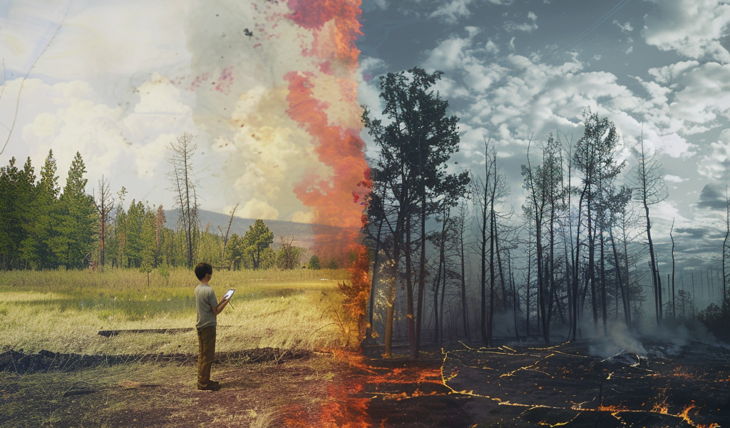
The tech giant’s AI-driven wildfire tracking system has already mapped over 40 wildfires in Southern Europe this summer, with significant incidents reported in Spain, Greece, and Cyprus. The integration of wildfire boundaries and relevant information into Google Maps and Search aims to provide users with real-time updates, complementing existing safety measures on the ground.
In early July, Google reported that approximately 1.4 million people accessed wildfire information through its platforms during a particularly active wildfire season. Users in affected areas will receive notifications on their mobile devices, as well as updates integrated into driving directions, ensuring they are well-informed about potential dangers.
This expansion of services is part of Google’s broader commitment to leveraging technology for public safety. By providing timely and accurate information about wildfires, the company aims to help individuals make informed decisions during emergencies.
In addition to wildfire alerts, Google Maps continues to evolve, introducing new features and updates that enhance user experience. Recent enhancements include a redesign of the Wear OS Tile and the addition of Live Activities for iPhone users. These updates reflect Google’s ongoing efforts to improve functionality and accessibility across its platforms.
As wildfires become an increasingly pressing issue due to climate change, the ability to access real-time information is crucial for safety. Google’s proactive approach to integrating wildfire data into its services demonstrates a significant step forward in utilizing technology for disaster response and public awareness.
With these advancements, Google Maps and Search are not just navigation tools but also vital resources for staying informed during critical situations. The company’s focus on AI and data-driven solutions is set to play a pivotal role in how communities respond to and recover from natural disasters.
As the wildfire season progresses, users in the newly added regions can expect to see enhanced information on Google Maps and Search, allowing them to stay alert and prepared. The initiative underscores the importance of technology in enhancing public safety and ensuring that individuals can access vital information when it matters most.