New Maps Reveal Lake Rotorua’s Hidden Depths And Hydrothermal Systems
February 26, 2024
Filed under: Bathymetry, GNS Science, Hydrothermal, Lake Rotorua, Mapping, New Zealand, Rotorua Caldera, Sulphur Point, Te Pū Ao, Volcano
Following on from the Lake Rotomahana (2020), Lake Rotoiti (2021), and Lake Tarawera (2022) map releases, this new addition has redefined our understanding of the region’s hidden depths.
The Lake Rotorua Map (2023) captures the bathymetry of the lake floor in unprecedented detail. Mapping includes a 2-meter grid of bathymetric data, reaching a maximum depth of 53.5 meters off Sulphur Point.
The bathymetric map reveals thousands of pockmarks that dot the lake floor, with some reaching an impressive 50 meters in diameter. These pockmarks are characteristic of gas discharge, the small craters pointing to where the release of gas bubbles have disturbed sedimentation on the lake floor.
The bathymetric map also shows evidence for an ancient river that once meandered and carved the land offshore of Sulphur Point, winding its way to the west of Mokoia Island and curving to the northeast. The depiction of a river provides a tangible link to the landscape that predates the formation of Lake Rotorua, which is linked to when the Rotorua Caldera last subsided ~220,000 years ago. Geological evidence indicates Lake Rotorua is at least 65,000 years old and has been at its current level since 22,000 years ago.
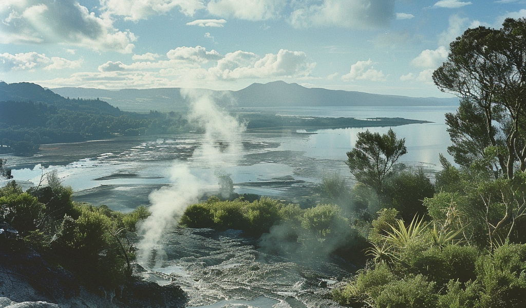
Close to the heart of Rotorua city, just offshore the iconic Sulphur Point, the map reveals an active underwater hydrothermal system characterized by numerous hydrothermal eruption craters. These craters, now venting hot water and gas, are clear evidence of the various inputs into the lake that affect its ecosystem. To better understand the geological setting of the lake and its sublacustrine hydrothermal system, GNS scientists have gone ‘below’ the surface of the lake by conducting gravity, magnetic and heat flow surveys.
Lead author Dr. Cornel de Ronde shares, “It’s a prime example of a holistic approach to understanding our geothermal-hosted volcanic lakes, empowering us to better model the intricate workings of the Rotorua geothermal system that projects offshore from Sulphur Point.”
The high heat flow offshore Sulphur Point is illustrated in the conductive heat flow map (left), where hot water is rising up to the lake floor as shown by the deep red-brown colors which are encircled by a donut-shaped zone colored dark blue where cold lake water is being drawn down beneath the lake floor.
The same story is depicted in the magnetic intensity map (right). That is, volcanic rocks typically contain the mineral magnetite which is highly susceptible to magnetization and creates high magnetic intensities. These maps provide a comprehensive view of the hydrothermal system and the geological features of Lake Rotorua.


