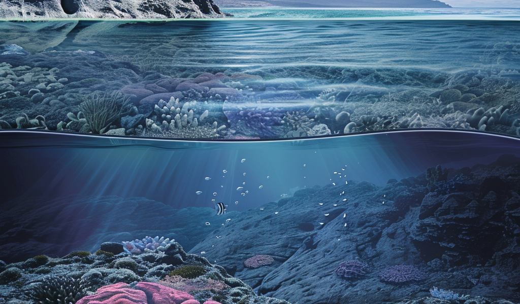
Recent geological research has unveiled the complete mapping of Zealandia, a submerged landmass that has been a subject of intrigue for scientists and geologists alike. This underwater entity, often referred to as the Earth’s potential eighth continent, spans nearly two million square miles, yet much of it remains hidden beneath the ocean’s surface.
The latest findings were published in the journal Tectonics, detailing the extensive work conducted by a research team from GNS Science in New Zealand. This team has successfully mapped the northern two-thirds of Zealandia, which had previously eluded comprehensive exploration.
The mapping process involved dredging rock samples from various sites, specifically the Fairway Ridge to the Coral Sea. The researchers collected a diverse array of geological materials, including pebbly and cobbly sandstone, fine-grain sandstone, mudstone, bioclastic limestone, and basaltic lava. These samples were crucial for analyzing the geological history and composition of the submerged continent.
Zealandia’s geological narrative is intricately linked to the ancient supercontinent Gondwana, which existed hundreds of millions of years ago. As Gondwana broke apart, Zealandia followed suit approximately 80 million years ago. Unlike its neighboring landmasses, such as Australia and parts of Antarctica, Zealandia predominantly sank beneath the ocean, leaving only a small portion above sea level. New Zealand is the most prominent land feature of Zealandia, with a few other islands also part of this intriguing submerged continent.
The research team, led by geologist Nick Mortimer, focused on analyzing the dredged rock samples to ascertain their age and geological significance. Among the findings were sandstone formations dating back approximately 95 million years to the Late Cretaceous period, alongside granite and volcanic pebbles that date back to the Early Cretaceous period, around 130 million years ago. The basalts collected are more recent, estimated to be around 40 million years old from the Eocene epoch.
The completion of this geological mapping marks a significant milestone in understanding Zealandia’s structure and history. By interpreting various geological features and magnetic anomalies, the researchers have successfully delineated the major geological units across North Zealandia. This comprehensive mapping effort not only enhances our knowledge of Zealandia but also contributes to broader discussions regarding continental classification and geological evolution.
The implications of this research extend beyond mere academic interest. Understanding Zealandia’s geological history may provide insights into the processes that shaped our planet, including plate tectonics and the formation of oceanic and continental crusts. As scientists continue to study this submerged landmass, Zealandia may offer valuable information regarding the Earth’s geological past and the dynamics of continental formation.
As the debate continues over the classification of continents, Zealandia stands as a testament to the complexities of our planet’s geological history. The findings from GNS Science not only reinforce the idea of Zealandia as a potential eighth continent but also challenge conventional notions of what constitutes a continent in the first place.
In summary, the recent mapping of Zealandia showcases the advancements in geological research and our growing understanding of submerged landmasses. As scientists delve deeper into the mysteries of Zealandia, the quest for knowledge about our planet’s history and structure continues to evolve.


