You might think you know the continents of our planet, but have you ever heard of Zealandia? This submerged landmass, largely hidden beneath the waves of the southwest Pacific Ocean, has recently gained attention due to a groundbreaking geological mapping project that sheds light on its characteristics and history.
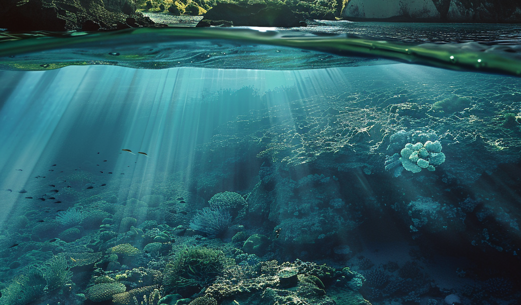
Zealandia, known as Te Riu-a-Māui in the Māori language, spans over 5 million square kilometers, making it nearly twice the size of India. Despite its vast area, the continent remains largely unknown, primarily because approximately 95% of it is submerged. Only the two main islands of New Zealand and a few smaller oceanic islands rise above the ocean’s surface.
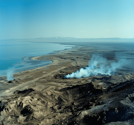
The discovery of Zealandia was first made in 2017, capturing global headlines as scientists began to unravel the mysteries of this hidden continent. The question arises: why had Zealandia remained undiscovered for so long? The answer lies in its unique geographical features; much of its land has been underwater for millions of years, long before humans walked the Earth.
Recent efforts by an international team of geologists have led to the creation of a new geological map that includes Zealandia. This map is the result of extensive research combining rock samples collected from the seabed and advanced geophysical mapping techniques. The geologists’ exploration revealed significant sandstone formations and deposits of basaltic rock pebbles that outline the outer edges of Zealandia.
Interestingly, the sandstone formations found in Zealandia are estimated to be around 95 million years old. These formations include older granite and volcanic pebbles, indicating that when Zealandia was above water, rivers from volcanic highlands would have filled the tectonic basins. This suggests a rich geological history, where the highlands were once an active volcanic range, existing at least 30 to 50 million years prior to the deposition of the sandstone.
As research continued, geologists hypothesized that Zealandia began to submerge around 40 million years ago. This theory is supported by the discovery of basalt pebbles, which are typically associated with underwater volcanic activity. The insights gained from this geological mapping project have been documented in the study titled “Reconnaissance basement geology and tectonics of North Zealandia,” published in the journal Tectonics in 2023.
The significance of Zealandia extends beyond its geological features; it challenges our understanding of continental formation and the dynamics of Earth’s crust. The existence of Zealandia prompts scientists to reconsider the criteria that define a continent and how we perceive the landmasses that make up our planet.
As research continues to unfold, Zealandia could provide valuable insights into the geological processes that have shaped not only New Zealand but also the surrounding regions. The study of this submerged continent presents an exciting opportunity for geologists to explore ancient landscapes and understand the evolution of Earth’s surface.
Zealandia’s journey from obscurity to scientific prominence illustrates the ever-evolving nature of geological research. With advancements in technology and collaborative efforts among scientists worldwide, the mysteries of our planet continue to be unveiled, one discovery at a time.
Stay tuned for more updates as researchers delve deeper into the secrets of Zealandia and its role in the broader context of Earth’s geology.